
bool(false)

bool(true)

bool(true)

int(0)
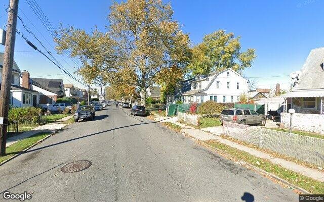
Saint Albans, NY 11412
Foreclosure History
Property details
The description and property data below may have been provided by a third party, the homeowner or public records.
119-43 200th St, Saint Albans, NY 11412 is a Single Family Home built in 1950. According to the Saint Albans public records, the property at 119-43 200th St, Saint Albans, NY 11412 has approximately 1,125 square feet, with a lot size of 5,900 square feet. Nearby schools include Ps 132 Ralph Bunche, Ps 136 Roy Wilkins and Ps 15 Jackie Robinson.
Primary Land Use and Tax Lot Information
for 119-43 200th St

Property Tax History
for 119-43 200th St
| Year | Taxes | |
|---|---|---|
| 2023 | $5,930 | $40,380 |
| 2022 | $5,785 | $40,200 |
Sold Homes
near 119-43 200th St
| Address | Price | Beds | Baths |
|---|---|---|---|
|
Cambria Heights, NY 11411SF
|
$575,000
03/06/2024
|
4
|
2
|
|
Cambria Heights, NY 11411SF
|
$645,000
12/06/2023
|
3
|
1
|
|
Saint Albans, NY 11412SF
|
$673,000
03/19/2024
|
3
|
2
|
|
Saint Albans, NY 11412SF
|
$659,000
11/29/2023
|
3
|
3
|
|
Saint Albans, NY 11412SF
|
$605,000
11/28/2023
|
3
|
2
|
Homes For Sale
near 119-43 200th St
| Address | Price | Beds | Baths |
|---|---|---|---|
|
Cambria Heights, NY 11411SF
|
$739,000
7 days ago
|
4
|
3
|
|
Jamaica, NY 11434SF
|
$599,999
168 days ago
|
4
|
2
|
|
Queens Village, NY 11429SF
|
$699,000
140 days ago
|
3
|
3
|
|
Valley Stream, NY 11580SF
|
$545,000
52 days ago
|
4
|
1
|
|
Rosedale, NY 11422SF
|
$639,000
28 days ago
|
3
|
2
|
Schools
serving 119-43 200th St
| School Name | Rating |
|---|---|
|
132-15 218TH ST, Queens, NY 11413
|
5 / 10 |
|
816 Eastern Parkway, Brooklyn, NY 11213
|
— |
|
19503 LINDEN BLVD, Queens, NY 11412
|
— |
Data provided by
GreatSchools.org © 2024. All Rights Reserved.
School service boundaries are intended to be used as reference only.
To verify enrollment eligibility for a property, contact the school directly.
Flood Factor
for 119-43 200th St
1
|10
Minimal

FEMA Zone (Est.)
X (unshaded)
Flood insurance:
Recommended
Flood risks are increasing as sea levels rise and weather patterns change.
This property has a
Minimal Flood Factor
.
Although flood risks across the country are changing because of the environment, this property is unlikely to flood over the next 30 years.
Although flood risks across the country are changing because of the environment, this property is unlikely to flood over the next 30 years.
Flood Factor data provided by FloodFactor.