")

bool(false)

bool(true)

bool(true)

int(0)
Brooklyn, NY 11235
Foreclosure History
Property details
The description and property data below may have been provided by a third party, the homeowner or public records.
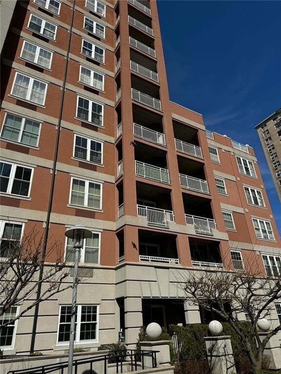
120 Oceana Dr W #5I, Brooklyn, NY 11235 is a Condo built in 2005. This property was last sold for $1,055,250 in 2024 and currently has an estimated value of $1,065,200. According to the Brooklyn public records, the property at 120 Oceana Dr W #5I, Brooklyn, NY 11235 has approximately 1,563 square feet. Nearby schools include Ps 771, Ps 253, Ps 370 and Ps 225 The Eileen E Zaglin.
Primary Land Use and Tax Lot Information
for 120 Oceana Dr W #5I

Property Price History
for 120 Oceana Dr W #5I
| Date | Event | Price | ||
|---|---|---|---|---|
| Jul 26, 2024 | Sold | $1,055,250 | $675 | Brooklyn |
| Apr 6, 2024 | Listed | $980,000 | $627 | Brooklyn |
Property Tax History
for 120 Oceana Dr W #5I
| Year | Taxes | |
|---|---|---|
| 2023 | $13,611 | $130,367 |
| 2022 | $13,125 | $115,038 |
Sold Homes
near 120 Oceana Dr W #5I
| Address | Price | Beds | Baths |
|---|---|---|---|
|
Brooklyn, NY 11235
|
$1,425,000
04/08/2025
|
3
|
3
|
|
Brooklyn, NY 11235
|
$760,000
05/29/2025
|
4
|
3
|
|
Brooklyn, NY 11235
|
$770,000
03/18/2025
|
4
|
2
|
|
Brooklyn, NY 11235
|
$930,000
04/18/2025
|
2
|
2
|
|
Brooklyn, NY 11235
|
$650,000
02/13/2025
|
3
|
2
|
Home Value
for 120 Oceana Dr W #5I
Estimated values are not a substitute for professional expertise. Contact your RE agent for a market assessment.
Schools
serving 120 Oceana Dr W #5I
| School Name | Rating |
|---|---|
|
1075 Ocean View Avenue, Brooklyn, NY 11235
|
— |
|
601 Ocean View Avenue, Brooklyn, NY 11235
|
8 / 10 |
|
3000 West 1st Street, Brooklyn, NY 11224
|
— |
Data provided by
GreatSchools.org © 2025. All Rights Reserved.
School service boundaries are intended to be used as reference only.
To verify enrollment eligibility for a property, contact the school directly.
Flood Factor
for 120 Oceana Dr W #5I
10
|10
Extreme

FEMA Zone (Est.)
X (shaded)
Flood insurance:
Recommended
Flood risks are increasing as sea levels rise and weather patterns change.
This property has a
Extreme Flood Factor
.
Flood Factor data provided by FloodFactor.