
bool(false)

bool(true)

bool(true)

int(0)
New York, NY 11213
Foreclosure History
Property details
The description and property data below may have been provided by a third party, the homeowner or public records.
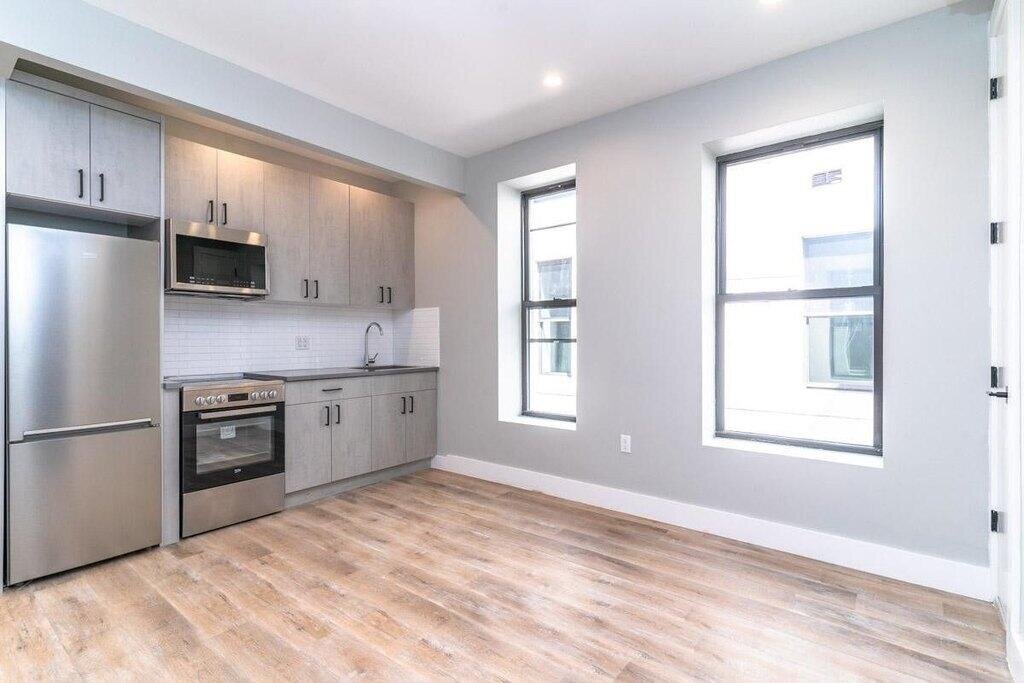
1365 St Johns Pl, New York, NY 11213 is a Multi Family Home built in 1929. According to the New York public records, the property at 1365 St Johns Pl, New York, NY 11213 has approximately 7,368 square feet, with a lot size of 2,239 square feet. Nearby schools include New Bridges Elementary School, KIPP AMP Charter School, Ms 394 and Explore Empower Charter School.
Primary Land Use and Tax Lot Information
for 1365 St Johns Pl

Sold Homes
near 1365 St Johns Pl
| Address | Price | Beds | Baths |
|---|---|---|---|
|
Brooklyn, NY 11233MF
|
$800,000
12/20/2023
|
7
|
3
|
|
Crown Heights, NY 11233MF
|
$999,000
03/28/2024
|
5
|
3
|
|
Crown Heights, NY 11233MF
|
$955,000
03/26/2024
|
5
|
3
|
|
Brooklyn, NY 11216MF
|
$1,190,000
03/04/2024
|
3
|
3
|
|
Brooklyn, NY 11213MF
|
$1,075,000
12/22/2023
|
6
|
2
|
Schools
serving 1365 St Johns Pl
| School Name | Rating |
|---|---|
|
1025 Eastern Parkway, Brooklyn, NY 11213
|
6 / 10 |
|
1224 Park Place, Brooklyn, NY 11213
|
8 / 10 |
|
188 Rochester Avenue, Brooklyn, NY 11213
|
3 / 10 |
Data provided by
GreatSchools.org © 2024. All Rights Reserved.
School service boundaries are intended to be used as reference only.
To verify enrollment eligibility for a property, contact the school directly.