
bool(false)

bool(true)

bool(true)

int(0)
Bronx, NY 10462
Property details
Status
Off Market
Foreclosure
Yes
Type
Condo
Zoning Districts
Last Sold
$48.5K in 1991
The description and property data below may have been provided by a third party, the homeowner or public records.
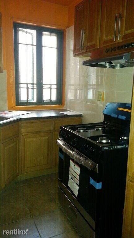
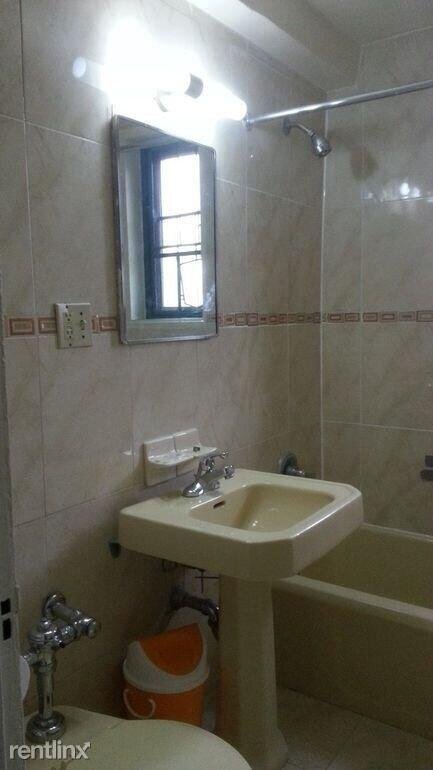
1670 Metropolitan Ave 7H, Bronx, NY 10462 is a Condo. This property was last sold for $48,500 in 1991 and currently has an estimated value of $259,400. According to the Bronx public records, the property at 1670 Metropolitan Ave 7H, Bronx, NY 10462 has approximately 840 square feet. Nearby schools include Ps 106 Parkchester, Linden Tree Elementary School, Bronx Charter School For Excellence and Icahn Charter School 2.
Primary Land Use and Tax Lot Information
for 1670 Metropolitan Ave 7H

Property Price History
for 1670 Metropolitan Ave 7H
| Date | Event | Price | ||
|---|---|---|---|---|
| Jan 11, 2024 | Sold | $235,000 | $283 | Public Record |
| Nov 17, 2020 | Listing removed | — | — | RentlinxUnits |
Property Tax History
for 1670 Metropolitan Ave 7H
| Year | Taxes | |
|---|---|---|
| 2022 | $743 | $21,093 |
| 2021 | $732 | $15,278 |
Sold Homes
near 1670 Metropolitan Ave 7H
| Address | Price | Beds | Baths |
|---|---|---|---|
|
Bronx, NY 10462
|
$250,000
02/16/2024
|
2
|
1
|
|
Bronx, NY 10462
|
$272,000
12/12/2023
|
2
|
1
|
|
Bronx, NY 10462
|
$282,000
02/07/2024
|
2
|
1
|
|
Bronx, NY 10462
|
$215,000
02/05/2024
|
1
|
1
|
|
Bronx, NY 10462
|
$215,000
03/25/2024
|
1
|
1
|
Home Value
for 1670 Metropolitan Ave 7H
Estimated values are not a substitute for professional expertise. Contact your RE agent for a market assessment.
Schools
serving 1670 Metropolitan Ave 7H
| School Name | Rating |
|---|---|
|
2151 SAINT RAYMOND AVE, The Bronx, NY 10462
|
— |
|
1514 OLMSTEAD AVE, The Bronx, NY 10462
|
4 / 10 |
|
1725 Castle Hill Avenue, Bronx, NY 10462
|
— |
Data provided by
GreatSchools.org © 2024. All Rights Reserved.
School service boundaries are intended to be used as reference only.
To verify enrollment eligibility for a property, contact the school directly.
Flood Factor
for 1670 Metropolitan Ave 7H
1
|10
Minimal

FEMA Zone (Est.)
X (unshaded)
Flood insurance:
Recommended
Flood risks are increasing as sea levels rise and weather patterns change.
This property has a
Minimal Flood Factor
.
Although flood risks across the country are changing because of the environment, this property is unlikely to flood over the next 30 years.
Although flood risks across the country are changing because of the environment, this property is unlikely to flood over the next 30 years.
Flood Factor data provided by FloodFactor.