")

bool(false)

bool(true)

bool(true)

int(0)
Staten Island, NY 10314
Property details
The description and property data below may have been provided by a third party, the homeowner or public records.
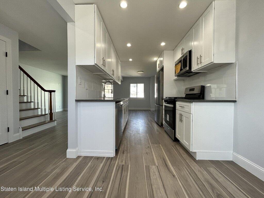
187 Regis Dr, Staten Island, NY 10314 is a Single Family Home built in 1976. This property was last sold for $542,000 in 2023 and currently has an estimated value of $622,100. According to the Staten Island public records, the property at 187 Regis Dr, Staten Island, NY 10314 has approximately 1,232 square feet, with a lot size of 2,420 square feet.
Property facts
Primary Land Use and Tax Lot Information
for 187 Regis Dr

Sold Homes
near 187 Regis Dr
| Address | Price | Beds | Baths |
|---|---|---|---|
|
Staten Island, NY 10314SF
|
$640,000
07/08/2025
|
3
|
2
|
|
Staten Island, NY 10303SF
|
$580,000
05/20/2025
|
3
|
2
|
|
Staten Island, NY 10314SF
|
$560,000
06/02/2025
|
3
|
2
|
|
Staten Island, NY 10314SF
|
$731,000
06/19/2025
|
5
|
2
|
|
Staten Island, NY 10303SF
|
$525,000
01/15/2025
|
3
|
3
|
Homes For Sale
near 187 Regis Dr
| Address | Price | Beds | Baths |
|---|---|---|---|
|
Staten Island, NY 10314SF
|
$849,000
269 days ago
|
3
|
2
|
|
Staten Island, NY 10310SF
|
$649,999
279 days ago
|
4
|
2
|
|
Staten Island, NY 10314SF
|
$682,000
223 days ago
|
2
|
2
|
|
Staten Island, NY 10314SF
|
$839,000
268 days ago
|
3
|
2
|
|
Staten Island, NY 10314SF
|
$639,000
237 days ago
|
3
|
2
|
Home Value
for 187 Regis Dr
Estimated values are not a substitute for professional expertise. Contact your RE agent for a market assessment.