")

bool(false)

bool(true)

bool(true)

int(0)
bool(false)
bool(true)
bool(true)
int(0)
Brooklyn, NY 11213
Foreclosure History
Lis Pendens
Property details
The description and property data below may have been provided by a third party, the homeowner or public records.
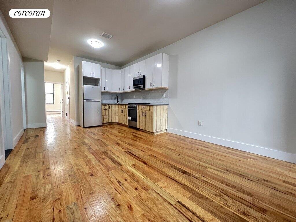
221 Schenectady Ave, Brooklyn, NY 11213 is a Multi Family Home built in 1900. This property currently has an estimated value of $1,310,400. According to the Brooklyn public records, the property at 221 Schenectady Ave, Brooklyn, NY 11213 has approximately 3,300 square feet, with a lot size of 2,000 square feet. Nearby schools include KIPP AMP Charter School, Ms 394 and New Bridges Elementary School.
Property facts
Primary Land Use and Tax Lot Information
for 221 Schenectady Ave

Personal Property Records
for 221 Schenectady Ave | Document Type | ||||
|---|---|---|---|---|
Property Price History
for 221 Schenectady Ave
| Date | Event | Price | ||
|---|---|---|---|---|
| Sep 5, 2024 | Listing removed | — | — | RealPlus |
| Jun 30, 2023 | Listing removed | — | — | CorcoranGroup |
Sold Homes
near 221 Schenectady Ave
| Address | Price | Beds | Baths |
|---|---|---|---|
|
Brooklyn, NY 11216MF
|
$1,655,000
02/19/2025
|
10
|
4
|
|
Brooklyn, NY 11213MF
|
$1,500,000
04/03/2025
|
7
|
3
|
|
Brooklyn, NY 11225MF
|
$1,700,000
05/02/2025
|
6
|
3
|
|
Brooklyn, NY 11225MF
|
$1,400,000
04/02/2025
|
6
|
3
|
|
Brooklyn, NY 11233MF
|
$1,500,000
04/04/2025
|
5
|
4
|
Homes For Sale
near 221 Schenectady Ave
| Address | Price | Beds | Baths |
|---|---|---|---|
|
Brooklyn, NY 11216MF
|
$1,969,000
10 days ago
|
4
|
4
|
|
Brooklyn, NY 11226MF
|
$1,100,000
26 days ago
|
—
|
—
|
|
Brooklyn, NY 11226MF
|
$1,499,999
32 days ago
|
7
|
5
|
|
Brooklyn, NY 11212MF
|
$1,250,000
51 days ago
|
7
|
4
|
|
Brooklyn, NY 11233MF
|
$1,875,000
16 days ago
|
8
|
3
|
Schools
serving 221 Schenectady Ave
| School Name | Rating |
|---|---|
|
885 Eastern Pkwy, Brooklyn, NY 11213
|
— |
|
1224 Park Place, Brooklyn, NY 11213
|
7 / 10 |
|
150 Albany Avenue, Brooklyn, NY 11213
|
2 / 10 |
Data provided by
GreatSchools.org © 2025. All Rights Reserved.
School service boundaries are intended to be used as reference only.
To verify enrollment eligibility for a property, contact the school directly.
Flood Factor
for 221 Schenectady Ave
1
|10
Minimal

FEMA Zone (Est.)
X (unshaded)
Flood insurance:
Recommended
Flood risks are increasing as sea levels rise and weather patterns change.
This property has a
Minimal Flood Factor
.
Although flood risks across the country are changing because of the environment, this property is unlikely to flood over the next 30 years.
Although flood risks across the country are changing because of the environment, this property is unlikely to flood over the next 30 years.
Flood Factor data provided by FloodFactor.