
bool(false)

bool(true)

bool(true)

int(0)
New York City, NY 10471
Foreclosure History
Property details
The description and property data below may have been provided by a third party, the homeowner or public records.
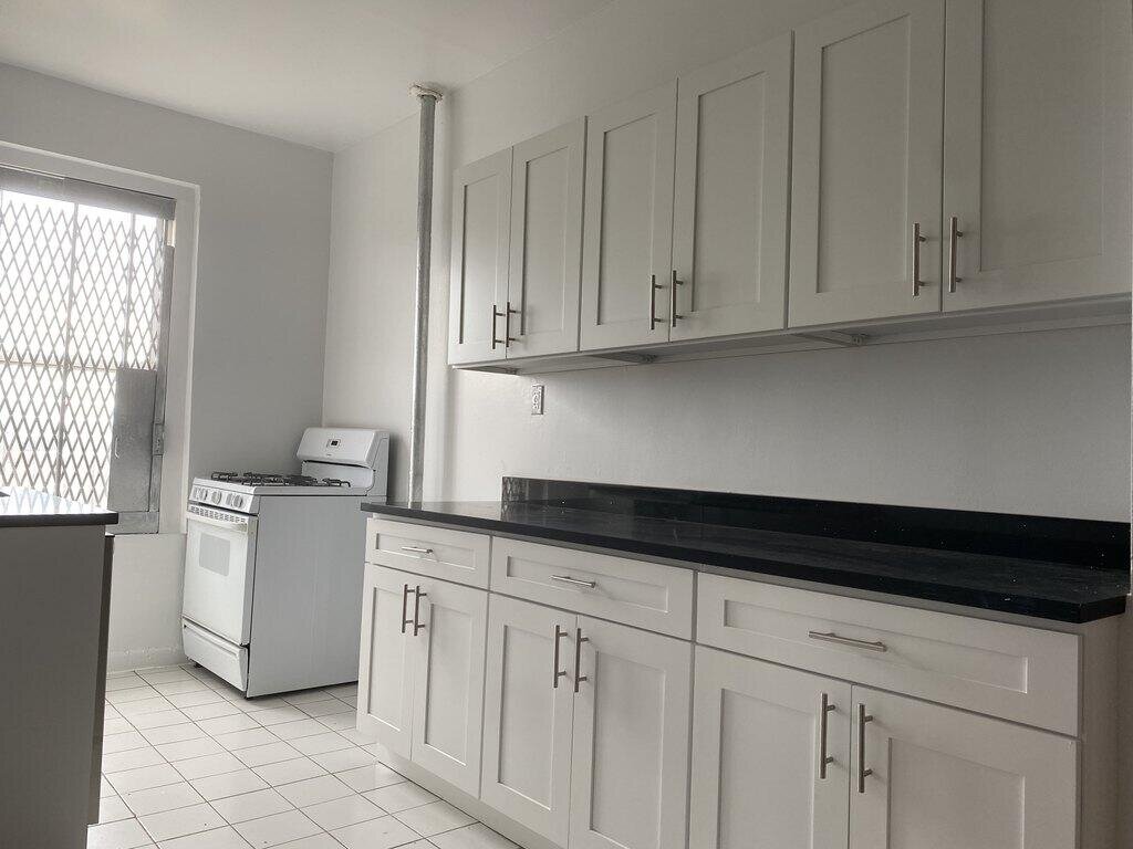
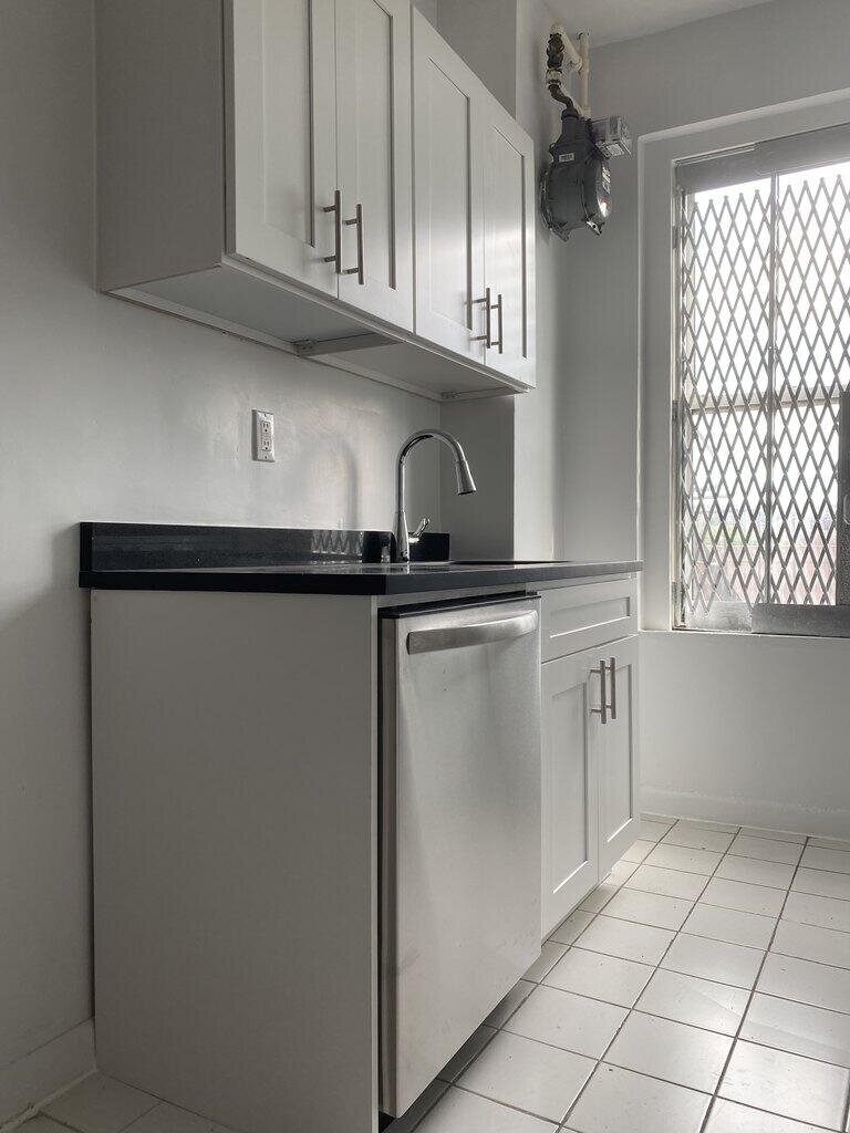
226 W 242nd St, New York City, NY 10471 is a Multi Family Home built in 1924. According to the New York City public records, the property at 226 W 242nd St, New York City, NY 10471 has approximately 61,500 square feet, with a lot size of 16,562 square feet. Nearby schools include Amber Charter School Kingsbridge, Ps 81 Robert J Christen, Ampark Neighborhood and Ps 95 Sheila Mencher.
Primary Land Use and Tax Lot Information
for 226 W 242nd St

Property Price History
for 226 W 242nd St
| Date | Event | Price | ||
|---|---|---|---|---|
| Jan 7, 2022 | Listing removed | $3,500 | — | REBNY |
| Jan 6, 2022 | Listing removed | — | — | REBNY |
Schools
serving 226 W 242nd St
| School Name | Rating |
|---|---|
|
4440 Tibbett Ave, Bronx, NY 10471
|
— |
|
231 West 246th Street, Bronx, NY 10471
|
— |
|
231 West 246th Street, Bronx, NY 10471
|
— |
Data provided by
GreatSchools.org © 2024. All Rights Reserved.
School service boundaries are intended to be used as reference only.
To verify enrollment eligibility for a property, contact the school directly.
Flood Factor
for 226 W 242nd St
9
|10
Extreme

FEMA Zone (Est.)
X (unshaded)
Flood insurance:
Recommended
Flood risks are increasing as sea levels rise and weather patterns change.
This property has a
Extreme Flood Factor
.
Flood Factor data provided by FloodFactor.