

bool(false)

bool(true)

bool(true)

int(0)
Staten Island, NY 10312
Foreclosure History
Property details
The description and property data below may have been provided by a third party, the homeowner or public records.
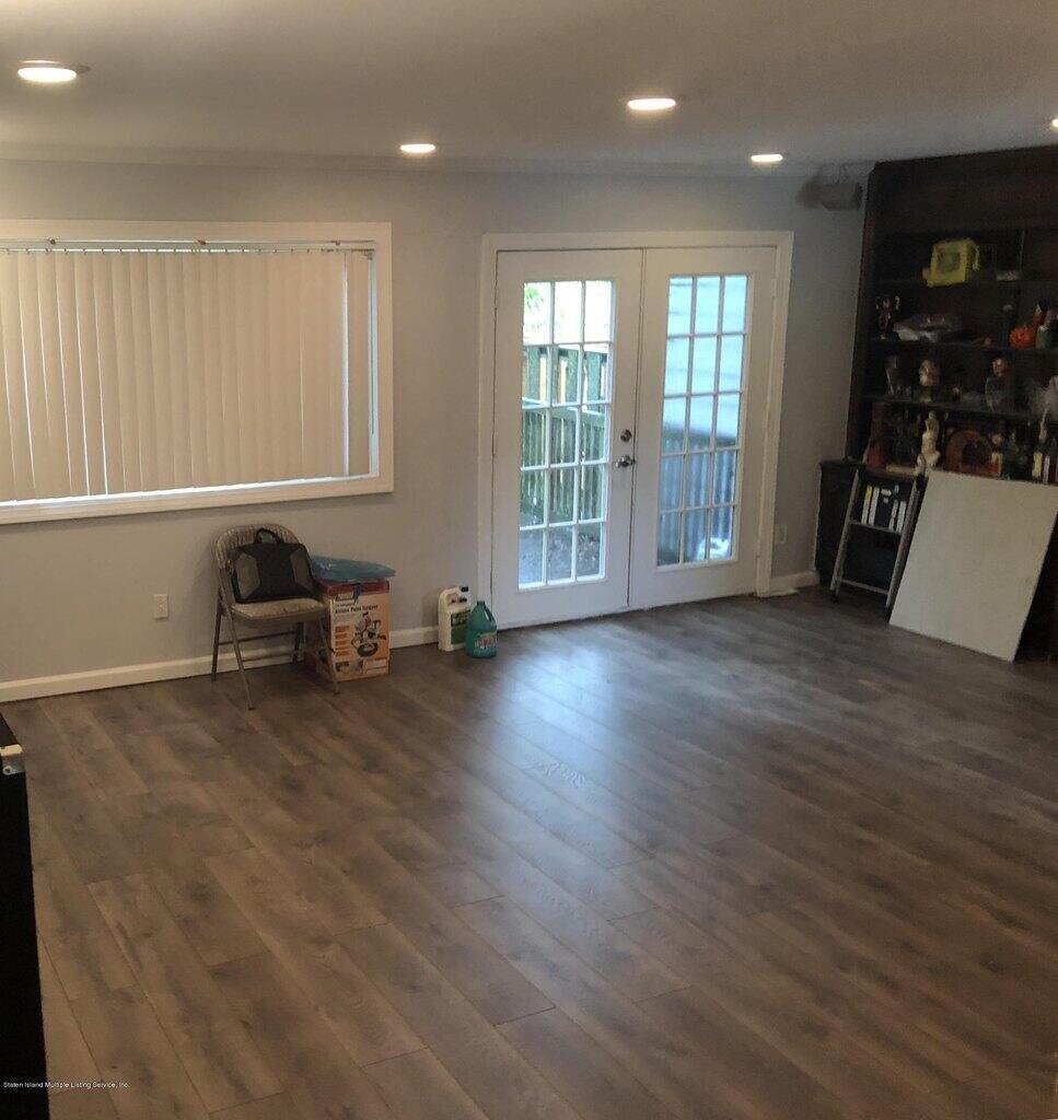
233 Dover Grn, Staten Island, NY 10312 is a Single Family Home built in 1975. This property was last sold for $145,000 in 1987 and currently has an estimated value of $622,700. According to the Staten Island public records, the property at 233 Dover Grn, Staten Island, NY 10312 has approximately 1,480 square feet, with a lot size of 1,720 square feet. Nearby schools include Ps 36 J C Drumgoole, Ps 56 The Louis Desario School and Ps 4 Maurice Wollin.
Property facts
Primary Land Use and Tax Lot Information
for 233 Dover Grn

Real Property Records
for 233 Dover Grn | Document Type | ||||
|---|---|---|---|---|
Property Price History
for 233 Dover Grn
| Date | Event | Price | ||
|---|---|---|---|---|
| Feb 13, 2021 | Listing removed | $449,000 | $303 | StatenIsland |
| Sep 19, 2018 | Listing removed | $449,000 | $303 | StatenIsland |
Property Tax History
for 233 Dover Grn
| Year | Taxes | |
|---|---|---|
| 2024 | $5,357 | $31,320 |
| 2023 | $5,416 | $34,080 |
Sold Homes
near 233 Dover Grn
| Address | Price | Beds | Baths |
|---|---|---|---|
|
Staten Island, NY 10312SF
|
$565,000
05/08/2025
|
3
|
2
|
|
Staten Island, NY 10312SF
|
$574,999
02/19/2025
|
3
|
2
|
|
Staten Island, NY 10312SF
|
$675,000
04/21/2025
|
3
|
2
|
|
Staten Island, NY 10312SF
|
$752,000
03/21/2025
|
3
|
3
|
|
Staten Island, NY 10312SF
|
$690,000
04/02/2025
|
2
|
3
|
Homes For Sale
near 233 Dover Grn
| Address | Price | Beds | Baths |
|---|---|---|---|
|
Staten Island, NY 10312SF
|
$685,000
76 days ago
|
3
|
2
|
|
Staten Island, NY 10312SF
|
$628,000
54 days ago
|
2
|
2
|
|
Carteret, NJ 07008SF
|
$599,900
11 days ago
|
3
|
2
|
|
Staten Island, NY 10309SF
|
$729,000
82 days ago
|
3
|
2
|
|
Staten Island, NY 10312SF
|
$888,000
74 days ago
|
3
|
4
|
Home Value
for 233 Dover Grn
Estimated values are not a substitute for professional expertise. Contact your RE agent for a market assessment.
Schools
serving 233 Dover Grn
| School Name | Rating |
|---|---|
|
255 Ionia Avenue, Staten Island, NY 10312
|
7 / 10 |
|
5411 Amboy Road, Staten Island, NY 10312
|
— |
|
250 Kramer Avenue, Staten Island, NY 10309
|
8 / 10 |
Data provided by
GreatSchools.org © 2025. All Rights Reserved.
School service boundaries are intended to be used as reference only.
To verify enrollment eligibility for a property, contact the school directly.
Flood Factor
for 233 Dover Grn
1
|10
Minimal

FEMA Zone (Est.)
X (unshaded)
Flood insurance:
Recommended
Flood risks are increasing as sea levels rise and weather patterns change.
This property has a
Minimal Flood Factor
.
Although flood risks across the country are changing because of the environment, this property is unlikely to flood over the next 30 years.
Although flood risks across the country are changing because of the environment, this property is unlikely to flood over the next 30 years.
Flood Factor data provided by FloodFactor.