
bool(false)

bool(true)

bool(true)

int(0)
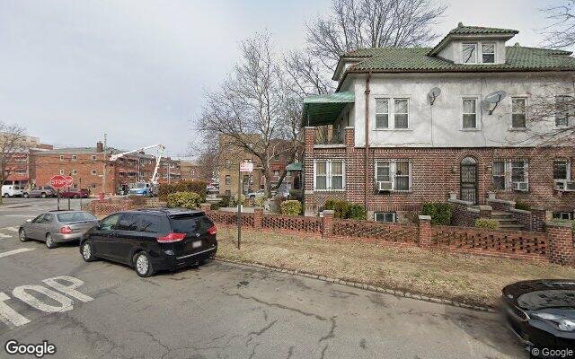
Bronx, NY 10467
Foreclosure History
Property details
The description and property data below may have been provided by a third party, the homeowner or public records.
3071 Williamsbridge Rd, Bronx, NY 10467 is a Single Family Home built in 1920. This property was last sold for $270,000 in 2005. According to the Bronx public records, the property at 3071 Williamsbridge Rd, Bronx, NY 10467 has approximately 881 square feet, with a lot size of 656 square feet. Nearby schools include Ps 76 The Bennington School, Bronx Community Charter School and Ps 41 Gun Hill Road.
Primary Land Use and Tax Lot Information
for 3071 Williamsbridge Rd

Property Price History
for 3071 Williamsbridge Rd
| Date | Event | Price | ||
|---|---|---|---|---|
| Apr 26, 2005 | Sold | $270,000 | $306 | Public Record |
| Jan 23, 1989 | Sold | $130,000 | $148 | Public Record |
Property Tax History
for 3071 Williamsbridge Rd
| Year | Taxes | |
|---|---|---|
| 2022 | $3,428 | $29,040 |
| 2021 | $3,590 | $23,580 |
Sold Homes
near 3071 Williamsbridge Rd
| Address | Price | Beds | Baths |
|---|---|---|---|
|
Bronx, NY 10469SF
|
$525,000
11/09/2023
|
4
|
2
|
|
Bronx, NY 10469SF
|
$445,000
12/22/2023
|
3
|
2
|
|
Bronx, NY 10469SF
|
$585,000
01/18/2024
|
3
|
3
|
|
Bronx, NY 10469SF
|
$625,000
03/29/2024
|
4
|
3
|
|
Bronx, NY 10458SF
|
$810,000
12/19/2023
|
8
|
4
|
Homes For Sale
near 3071 Williamsbridge Rd
| Address | Price | Beds | Baths |
|---|---|---|---|
|
Bronx, NY 10469SF
|
$549,000
41 days ago
|
4
|
1
|
Schools
serving 3071 Williamsbridge Rd
| School Name | Rating |
|---|---|
|
830 Mace Avenue, Bronx, NY 10467
|
— |
|
900 ADEE AVE, The Bronx, NY 10469
|
4 / 10 |
|
801 Bartholdi Street, Bronx, NY 10467
|
— |
Data provided by
GreatSchools.org © 2024. All Rights Reserved.
School service boundaries are intended to be used as reference only.
To verify enrollment eligibility for a property, contact the school directly.
Flood Factor
for 3071 Williamsbridge Rd
1
|10
Minimal

FEMA Zone (Est.)
X (unshaded)
Flood insurance:
Recommended
Flood risks are increasing as sea levels rise and weather patterns change.
This property has a
Minimal Flood Factor
.
Although flood risks across the country are changing because of the environment, this property is unlikely to flood over the next 30 years.
Although flood risks across the country are changing because of the environment, this property is unlikely to flood over the next 30 years.
Flood Factor data provided by FloodFactor.