340 Lincoln Rd, Brooklyn, NY 11225 Kings County Last Updated: April 21, 2024
Auction: Estimated Market Value $1,683,900
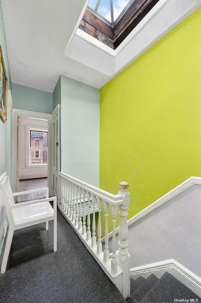
Description: 340 Lincoln Rd, Brooklyn, NY 11225 is a Multi Family Home built in 1905. This property was last sold for $85,000 in 1985 and currently has an estimated value of $1,683,900. According to the Brooklyn public records, the property at 340 Lincoln Rd, Brooklyn, NY 11225 has approximately 1,980 square feet, with a lot size of 2,050 square feet. Nearby schools include Ps 397 Foster Laurie, Ps 161 The Crown and Success Academy Crown Heights.
1,980 sqft
2,050 lot size
5 beds
3 baths
Year Built: 1905
Auction
340 Lincoln Rd, Brooklyn, NY 11225
Last Updated: April 21, 2024
1
Auction
NEW APR 21, 2024
MAY 9, 2024
Multi Family Home
Estimated Market Value EMV $ 1,683,900
340 Lincoln Rd
bool(false)

bool(true)

bool(true)

int(0)
Estimated Market Value EMV $ 1,683,900
for 340 Lincoln Rd
Thursday
9
May
2024
2:30 PM
Auction Date
May 9, 2024
Auction Time
2:30 PM
Auction Location
KINGS COUNTY SUPREME COURT 360 ADAMS STREET ROOM 224 BROOKLYN NY 11201
for 340 Lincoln Rd
340 Lincoln Rd, Brooklyn, NY 11225 is a Multi Family Home built in 1905. This property was last sold for $85,000 in 1985 and currently has an estimated value of $1,683,900. According to the Brooklyn public records, the property at 340 Lincoln Rd, Brooklyn, NY 11225 has approximately 1,980 square feet, with a lot size of 2,050 square feet. Nearby schools include Ps 397 Foster Laurie, Ps 161 The Crown and Success Academy Crown Heights.
Property features
Number of Units:
Number of Units:
2
2
Full Bathrooms:
Full Bathrooms:
3
3
Total Bathrooms:
Total Bathrooms:
3
3
Cooling Features:
Cooling Features:
Window Unit(s)
Window Unit(s)
Heating Features:
Heating Features:
Radiant
Radiant
Sewer:
Sewer:
Public Sewer
Public Sewer
Water Source:
Water Source:
Public
Public
Association:
Association:
No
No
Calculated Total Monthly Association Fees:
Calculated Total Monthly Association Fees:
0
0
Senior Community:
Senior Community:
Yes
Yes
Lot Size Acres:
Lot Size Acres:
0.0470615
0.0470615
Lot Size Dimensions:
Lot Size Dimensions:
20x102.5
20x102.5
Lot Size Square Feet:
Lot Size Square Feet:
2050
2050
Basement Description:
Basement Description:
Full
Full
Basement Features:
Basement Features:
Full
Full
Den Level:
Den Level:
Basement
Basement
Total Rooms:
Total Rooms:
12
12
Architectural Style:
Architectural Style:
Townhouse
Townhouse
Common Walls:
Common Walls:
No Common Walls
No Common Walls
Construction Materials:
Construction Materials:
Block
Block
Property Age:
Property Age:
119
119
Year Built:
Year Built:
1905
1905
Elementary School District:
Elementary School District:
Brooklyn 17
Brooklyn 17
High School District:
High School District:
Brooklyn 17
Brooklyn 17
High School:
High School:
Medgar Evers College Prep School
Medgar Evers College Prep School
Middle School:
Middle School:
Ebbets Field Middle School
Ebbets Field Middle School
Middle or Junior School District:
Middle or Junior School District:
Brooklyn 17
Brooklyn 17
Annual Tax Amount:
Annual Tax Amount:
2626.00
2626.00
County:
County:
Brooklyn
Brooklyn
Cross Street:
Cross Street:
Nostrand Ave
Nostrand Ave
List Price Low:
List Price Low:
1700000
1700000
Number of Separate Electric Meters:
Number of Separate Electric Meters:
2
2
Number of Separate Gas Meters:
Number of Separate Gas Meters:
2
2
Parcel Number:
Parcel Number:
05030-0035
05030-0035
Property Subtype:
Property Subtype:
Multi Family
Multi Family
Source Listing Status:
Source Listing Status:
Hold
Hold
Source Property Type:
Source Property Type:
Residential Income
Residential Income
Source System Name:
Source System Name:
C2C
C2C
Tax Block:
Tax Block:
5030
5030
Township:
Township:
Brooklyn
Brooklyn
Building Class:
B1
Two Family Dwellings: Brick
Floors on Main Building:
2.00
Building Dimensions:
19.50'
Actual Square Footage:
1,980
Calculated Square Footage:
1,950
Residential Floor Area:
1,980
Basement:
Below grade full basement
Address:
340 LINCOLN ROAD
Land Use:
01
One & Two Family Buildings
Lot Dimensions:
20'
Calculated Lot Perimeter:
246.95 ft
Zoning Districts:
R6
Moderate-density residence district
Max Residential FAR:
2.43
Max Residential Sqft:
4,982
Buildable Residential Sqft:
3,002
Residential Area Distribution:
Assessed Land Value:
$20,520
Assessed Total Value:
$90,900
Exempt Total Value:
$49,250
Last Recording Date:
Jan 8, 2024
Property Assessment Data:
Tax Class:
1
One- to three-unit residential properties
Taxable Assessed Value:
$13,079
Estimated Market Value by NYC DOF :
$1,515,000
Community District (CD):
309
City Council District:
40
Document DateDocument Type Unit Amount
Date
Event
Price
Price/Sqft
Source
Apr 9, 2024
Listing removed
$1,700,000
—
OneKeyMLS
Apr 1, 2024
Listing removed
$1,799,000
—
OneKeyMLS
Mar 19, 2024
Listed
$1,799,000
—
OneKeyMLS
Oct 22, 1985
Sold
$85,000
$43
Public Record
Year
Taxes
Land
Additions
Total Assessment
2022
$2,519
$20,520
$51,480
$72,000
2021
$2,666
$20,520
$58,440
$78,960
2020
$2,496
$20,520
$53,640
$74,160
2019
$2,283
$20,520
$50,640
$71,160
2018
$2,116
$7,142
$19,399
$26,541
2017
$2,059
$7,589
$18,952
$26,541
2016
$2,011
$10,167
$16,172
$26,339
2015
$1,808
$11,391
$13,458
$24,849
2014
$4,491
$12,892
$10,552
$23,444
2013
$4,244
$14,601
$7,517
$22,118
2012
$4,026
$13,991
$8,127
$22,118
2010
$3,261
$13,382
$8,568
$21,950
2009
$3,102
$11,794
$8,914
$20,708
2007
$2,844
$2,383
$16,049
$18,432
Address
Price
Built
Beds
Baths
Sqft
Lot Size
Distance
293 Lefferts Ave
Brooklyn, NY 11225MF
$1,400,000
12/26/2023
1905
5
3
2,108
+128difference
2,000
0.09 mi
203 Sterling St
Brooklyn, NY 11225MF
$1,300,000
02/27/2024
1910
5
2
2,128
+148
2,000
0.20 mi
153 E 39th St
Brooklyn, NY 11203MF
$1,160,000
04/10/2024
1925
5
3
1,504
-476
2,000
0.76 mi
217 Lincoln Rd
Brooklyn, NY 11225MF
$1,900,000
02/21/2024
1905
5
3
2,704
+724
2,050
0.20 mi
158 Martense St
Brooklyn, NY 11226MF
$1,262,500
11/16/2023
—
6
5
3,219
+1,239
2,380
0.70 mi
156 Martense St
Brooklyn, NY 11226MF
$1,262,500
11/16/2023
—
8
3
3,282
+1,302
2,400
0.71 mi
Address
Price
Built
Beds
Baths
Sqft
Lot Size
Distance
160 Bay 53rd St
Brooklyn, NY 11214MF
$1,550,000
742 days ago
2023
4
4
2,000
+20difference
2,000
1.27 mi
387 E 54th St
Brooklyn, NY 11203MF
$850,000
112 days ago
1950
6
3
2,000
+20
3,052
1.57 mi
221 E 42nd St
Brooklyn, NY 11203MF
$750,000
352 days ago
1915
4
2
2,000
+20
2,000
1.04 mi
470 Midwood St
Brooklyn, NY 11225MF
$1,299,995
246 days ago
1910
6
2
2,000
+20
2,000
0.35 mi
166 Bay 53rd St
Brooklyn, NY 11214MF
$1,690,000
742 days ago
2023
6
4
2,000
+20
3,000
1.27 mi
1462 New York Ave
Brooklyn, NY 11210MF
$949,000
18 days ago
—
4
3
2,028
+48
2,050
1.69 mi
5910 Snyder Ave
Brooklyn, NY 11203MF
$849,000
185 days ago
1920
5
3
1,920
-60
2,000
1.76 mi
978 Lincoln Pl
Brooklyn, NY 11213MF
$1,320,000
75 days ago
1910
5
2
2,048
+68
2,000
0.73 mi
417 18th St
Brooklyn, NY 11215MF
$1,600,000
1239 days ago
1915
4
2
1,908
-72
1,252
1.79 mi
8 Raleigh Pl
Brooklyn, NY 11226MF
$1,099,999
22 days ago
1910
5
3
2,060
+80
2,000
0.70 mi
Estimated values are not a substitute for professional expertise. Contact your RE agent for a market assessment.
School Name
Rating
Grades
Parent Rating
Distance
St. Francis of Assisi School
, Brooklyn , NY 11225
—
PK−8
0.12 mi
Montessori School Of Lefferts Garden Ii
, Brooklyn , NY 11225
—
PK−5
—
0.18 mi
Under The Learning Tree
, Brooklyn , NY 11225
—
K−6
—
0.20 mi
Ps 397 Foster Laurie
, Brooklyn , NY 11203
9 / 10
K−5
0.32 mi
Ps 161 The Crown
, Brooklyn , NY 11225
5 / 10
K−5
0.34 mi
Success Academy Crown Heights
, Brooklyn , NY 11225
7 / 10
K−8
0.34 mi
Medgar Evers College Preparatory School
, Brooklyn , NY 11225
5 / 10
6−12
0.40 mi
Parkside Preparatory Academy
, Brooklyn , NY 11226
7 / 10
6−8
0.34 mi
High School for Public Service-Heroes of Tomorrow
, Brooklyn , NY 11203
5 / 10
9−12
0.45 mi
Brooklyn Institute for Liberal Arts
, Brooklyn , NY 11203
5 / 10
9−12
0.45 mi
FEMA Zone (Est.)
X (unshaded)
Flood insurance:
Recommended
Flood risks are increasing as sea levels rise and weather patterns change.
This property has a
Major Flood Factor
.
Please Log In
Please wait... If this message is not eventually replaced by the proper contents of the document, your PDF viewer may not be able to display this type of document.
You can upgrade to the latest version of Adobe Reader for Windows®, Mac, or Linux® by visiting
https://get.adobe.com/reader/ this link .
For more assistance with Adobe Reader visit
http://get.adobe.com/reader/ this link .
You can download this PDF-document from
here .