3519 Newkirk Ave, Brooklyn, NY 11203 Kings County Last Updated: April 18, 2024
Pre-Foreclosure: Lis Pendens, Price N/A
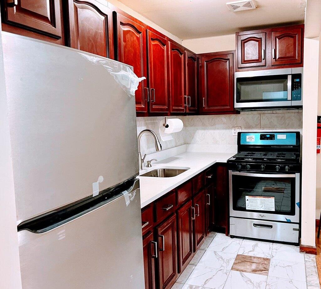
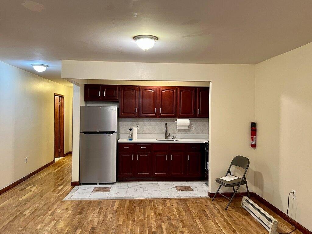
Description: 3519 Newkirk Ave, Brooklyn, NY 11203 is a Multi Family Home built in 2006. According to the Brooklyn public records, the property at 3519 Newkirk Ave, Brooklyn, NY 11203 has approximately 3,420 square feet, with a lot size of 1,610 square feet. Nearby schools include Ps 198, Ps 361 East Flatbush Early Childhood School, Ps 109, Central Brooklyn Ascend Charter and Achievement First Crown Heights Charter School.
3,420 sqft
1,610 lot size
3 beds
2 baths
Year Built: 2006
Pre-foreclosure
3519 Newkirk Ave, Brooklyn, NY 11203
Last Updated: April 18, 2024
3519 Newkirk Ave
bool(false)

bool(true)

bool(true)

int(0)
Foreclosure History
for 3519 Newkirk Ave
for 3519 Newkirk Ave
3519 Newkirk Ave, Brooklyn, NY 11203 is a Multi Family Home built in 2006. According to the Brooklyn public records, the property at 3519 Newkirk Ave, Brooklyn, NY 11203 has approximately 3,420 square feet, with a lot size of 1,610 square feet. Nearby schools include Ps 198, Ps 361 East Flatbush Early Childhood School, Ps 109, Central Brooklyn Ascend Charter and Achievement First Crown Heights Charter School.
Property features
Assigned Spaces:
Assigned Spaces:
no
no
Flooring:
Flooring:
Hardwood
Hardwood
Total Rooms:
Total Rooms:
3
3
Disabled Access:
Disabled Access:
No
No
Handrails:
Handrails:
No
No
Full Bathrooms:
Full Bathrooms:
2
2
Total Bathrooms:
Total Bathrooms:
2
2
Large Dogs Allowed:
Large Dogs Allowed:
No
No
Small Dogs Allowed:
Small Dogs Allowed:
No
No
Disposal:
Disposal:
No
No
Washer Dryer Hookup:
Washer Dryer Hookup:
No
No
Availability Date:
Availability Date:
2022-01-25
2022-01-25
Property Subtype:
Property Subtype:
condo
condo
Source Property Type:
Source Property Type:
apartment
apartment
Source System Name:
Source System Name:
C2C
C2C
Application Fee:
Application Fee:
55
55
Lease Term:
Lease Term:
annual
annual
Rent Includes:
Rent Includes:
Hotwater, Water
Hotwater, Water
Security Deposit:
Security Deposit:
2600
2600
Private Balcony:
Private Balcony:
No
No
Private Patio:
Private Patio:
No
No
Sports Court:
Sports Court:
No
No
Building Class:
C0
Walk Up Apartments: Three Families
Floors on Main Building:
3
Building Dimensions:
24'
Actual Square Footage:
3,420
Calculated Square Footage:
3,384
Residential Floor Area:
3,420
Basement:
Below grade full basement
Address:
3519 NEWKIRK AVENUE
BIN
Name 3519 NEWKIRK AVENUE
Land Use:
02
Multi-Family Walk-Up Buildings
Lot Dimensions:
28'
Calculated Lot Perimeter:
175.33 ft
Zoning Districts:
R6
Moderate-density residence district
Max Residential FAR:
2.43
Max Residential Sqft:
3,912
Buildable Residential Sqft:
492
Residential Area Distribution:
Assessed Land Value:
$23,040
Assessed Total Value:
$72,840
Last Recording Date:
Jan 8, 2024
Property Assessment Data:
Tax Class:
1
One- to three-unit residential properties
Taxable Assessed Value:
$45,360
Estimated Market Value by NYC DOF :
$1,214,000
Community District (CD):
317
City Council District:
45
Document DateDocument Type Unit Amount
Date
Event
Price
Price/Sqft
Source
Feb 6, 2022
Listing removed
—
—
Avail
Jan 25, 2022
Listed for rent
$2,600
—
Avail
Address
Price
Built
Beds
Baths
Sqft
Lot Size
Distance
156 Martense St
Brooklyn, NY 11226MF
$1,262,500
11/16/2023
—
8
3
3,282
-138difference
2,400
0.94 mi
158 Martense St
Brooklyn, NY 11226MF
$1,262,500
11/16/2023
—
6
5
3,219
-201
2,380
0.94 mi
672 E 21st St
Brooklyn, NY 11226MF
$1,200,000
01/24/2024
1920
9
4
3,002
-418
3,000
0.81 mi
1741 Flatbush Ave
Brooklyn, NY 11210MF
$830,000
01/05/2024
1930
5
2
3,900
+480
2,415
0.89 mi
5402 Beverley Rd
Brooklyn, NY 11203MF
$985,000
04/18/2024
1930
6
4
2,860
-560
2,300
0.98 mi
1339 Brooklyn Ave
Brooklyn, NY 11203MF
$990,000
01/26/2024
1920
6
2
2,560
-860
2,500
0.03 mi
723 E 38th St
Brooklyn, NY 11210MF
$620,000
12/22/2023
1940
3
2
1,767
-1,653
2,200
0.24 mi
533 E 40th St
Brooklyn, NY 11203MF
$619,000
11/29/2023
1920
3
2
1,248
-2,172
2,000
0.26 mi
458 E 38th St
Brooklyn, NY 11203MF
$689,000
03/22/2024
1940
4
2
1,896
-1,524
2,150
0.28 mi
266 E 32nd St
Brooklyn, NY 11226MF
$880,000
02/23/2024
1910
5
3
1,976
-1,444
1,933
0.34 mi
Address
Price
Built
Beds
Baths
Sqft
Lot Size
Distance
1447 E 22nd St
Brooklyn, NY 11210SF
$2,500,000
41 days ago
1930
4
4
3,250
-170difference
4,000
1.72 mi
1158 Lenox Rd
Brooklyn, NY 11212SF
$995,000
371 days ago
1931
2
2
3,198
-222
—
1.87 mi
246 Lefferts Ave
Brooklyn, NY 11225MF
$1,599,999
98 days ago
1905
4
3
3,192
-228
2,050
1.57 mi
267 Marlborough Rd
Brooklyn, NY 11226SF
$1,750,000
32 days ago
1920
4
3
3,174
-246
—
1.16 mi
2925 Avenue J
Brooklyn, NY 11210SF
$2,999,000
269 days ago
1930
3
3
3,740
+320
—
0.96 mi
School Name
Rating
Grades
Parent Rating
Distance
Ps 198
, Brooklyn , NY 11210
5 / 10
K−5
0.38 mi
Ps 361 East Flatbush Early Childhood School
, Brooklyn , NY 11210
3 / 10
K−5
0.32 mi
Ps 109
, Brooklyn , NY 11210
5 / 10
K−8
0.60 mi
Central Brooklyn Ascend Charter
, Brooklyn , NY 11226
6 / 10
K−7
0.34 mi
Achievement First Crown Heights Charter School
, Brooklyn , NY 11203
6 / 10
K−12
1.53 mi
Ms 246 Walt Whitman
, Brooklyn , NY 11226
6 / 10
6−8
0.77 mi
Catherine Mc Auley High School
, Brooklyn , NY 11203
—
9−12
0.11 mi
Cristo Rey Brooklyn High School
, Brooklyn , NY 11203
—
9−12
—
0.10 mi
Cristo Rey Brooklyn High School
, Brooklyn , NY 11203
—
9−12
—
0.10 mi
Ps 269 Nostrand
, Brooklyn , NY 11210
—
3−5
0.32 mi
FEMA Zone (Est.)
X (unshaded)
Flood insurance:
Recommended
Flood risks are increasing as sea levels rise and weather patterns change.
This property has a
Severe Flood Factor
.
Please Log In
Please wait... If this message is not eventually replaced by the proper contents of the document, your PDF viewer may not be able to display this type of document.
You can upgrade to the latest version of Adobe Reader for Windows®, Mac, or Linux® by visiting
https://get.adobe.com/reader/ this link .
For more assistance with Adobe Reader visit
http://get.adobe.com/reader/ this link .
You can download this PDF-document from
here .