4134 Hill Ave, Bronx, NY 10466

Bronx County

Last Updated: March 5, 2024

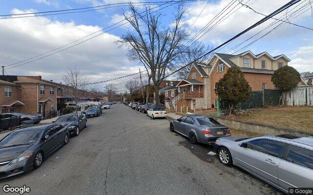
Pre-Foreclosure: Lis Pendens, Estimated Market Value $1,046,400

Description: 4134 Hill Ave, Bronx, NY 10466 is a Multi Family Home built in 1945. This property was last sold for $560,000 in 2005 and currently has an estimated value of $1,046,400. According to the Bronx public records, the property at 4134 Hill Ave, Bronx, NY 10466 has approximately 1,755 square feet, with a lot size of 4,750 square feet. Nearby schools include Ps 87, Ps 68 and Ps 111 Seton Falls.

1,755 sqft
4,750 lot size
Year Built: 1945
4134 Hill Ave
Bronx, NY 10466
Foreclosure History
Property details
The description and property data below may have been provided by a third party, the homeowner or public records.
4134 Hill Ave, Bronx, NY 10466 is a Multi Family Home built in 1945. This property was last sold for $560,000 in 2005 and currently has an estimated value of $1,046,400. According to the Bronx public records, the property at 4134 Hill Ave, Bronx, NY 10466 has approximately 1,755 square feet, with a lot size of 4,750 square feet. Nearby schools include Ps 87, Ps 68 and Ps 111 Seton Falls.
Property features
Primary Land Use and Tax Lot Information
  • 4134 HILL AVENUE, 10466
  • DOB Overview:
  • Building Class:
    B1
    Two Family Dwellings: Brick
  • Year Built:
    1945
  • Number of Buildings:
    1
  • Floors on Main Building:
    1.5
  • Building Dimensions:
    30'26'
  • Actual Square Footage:
    1,755
  • Calculated Square Footage:
    1,170
  • Residential Floor Area:
    975
  • Total Units:
    2
  • Residential Units:
    2
  • Extension:
    Garage
  • Basement:
    Above grade full basement
  • Proximity:
    Detached
  • Address:
    4134 HILL AVENUE
  • Zip Code:
    10466
  • Borough:
    Bronx (2)
  • Block — Lot:
    5027 — 55
  • BBLE:
    2050270055
  • Lot Buildings:
    BIN
    Name
    2069440 4134 HILL AVENUE

  • Ownership:

  • Land Use:
    01
    One & Two Family Buildings
  • Lot Dimensions:
    50'95'
  • Calculated Lot Perimeter:
    290.42 ft
  • Acres:
    0.11
  • Lot Area:
    4,750
  • Lot Type:
    Inside
  • Zoning Districts:
    R4A
    Lower-density residence district
  • Zoning Map:

  • Actual FAR:
    0.37
  • Max Residential FAR:
    0.75
  • Max Commercial FAR:
    0
  • Max Facility FAR:
    2

  • Max Residential Sqft:
    3,563
  • Buildable Residential Sqft:
    1,808
  • Residential Area Distribution:
Real Property Records
Document Type
Property Price History
Date Event Price
Jul 13, 2005 Sold $560,000
Nov 2, 1995 Sold $220,000
Property Tax History
Year Taxes Assessment
2022 $5,985 $33,960
2021 $6,273 $30,240
Sold Homes
Address Price Beds Baths
3978 Paulding Ave
NY 10466MF
$838,000
02/23/2024
6
2
830 E 227th St
NY 10466MF
$710,000
03/28/2024
5
3
3939 Amundson Ave
NY 10466MF
$965,000
12/11/2023
6
7
Homes For Sale
Address Price Beds Baths
3214 Hone Ave
NY 10469MF
$750,000
119 days ago
4
3
31 Maple Pl
NY 10704MF
$929,000
153 days ago
4
2
3231 Grace Ave
NY 10469MF
$750,000
502 days ago
5
2
463 Bronx River Rd
NY 10704MF
$599,000
192 days ago
3
2
4127 Digney Ave
NY 10466MF
$778,000
104 days ago
3
3
Home Value
Estimated values are not a substitute for professional expertise. Contact your RE agent for a market assessment.
Schools
School Name Rating
Ps 87
1935 BUSSING AVE, NY 10466
5 / 10
St Francis Of Assisi School
4300 Baychester Avenue, NY 10466
Wake-Eden Christian Academy
2074 STRANG AVE, NY 10466
Data provided by GreatSchools.org © 2024. All Rights Reserved.
School service boundaries are intended to be used as reference only. To verify enrollment eligibility for a property, contact the school directly.
Flood Factor
Flood Factor Score: 1 Flood Factor Score: 1 Flood Factor Score: 1 Flood Factor Score: 1
1 |10
Minimal
Flood Factor
FEMA Zone (Est.)
X (unshaded)
Flood insurance:
Recommended
Flood risks are increasing as sea levels rise and weather patterns change.
This property has a Minimal Flood Factor .
Although flood risks across the country are changing because of the environment, this property is unlikely to flood over the next 30 years.
Flood Factor data provided by FloodFactor.