

bool(false)

bool(true)

bool(true)

int(0)
Bronx, NY 10465
Foreclosure History
Lis Pendens
Property details
The description and property data below may have been provided by a third party, the homeowner or public records.
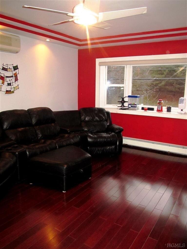
4402 Locust Point Dr, Bronx, NY 10465 is a Single Family Home built in 1915. This property was last sold for $422,940 in 2011 and currently has an estimated value of $674,600. According to the Bronx public records, the property at 4402 Locust Point Dr, Bronx, NY 10465 has approximately 1,014 square feet, with a lot size of 2,500 square feet. Nearby schools include Ps 72 Dr William Dorney, Bronx Delta School and Ps 10.
Primary Land Use and Tax Lot Information
for 4402 Locust Point Dr

Property Price History
for 4402 Locust Point Dr
| Date | Event | Price | ||
|---|---|---|---|---|
| Aug 17, 2013 | Listing removed | $430,000 | $255 | HudsonGatewayMLSEast |
| Jun 24, 2013 | Price Changed | $430,000 | $255 | HudsonGatewayMLSEast |
Property Tax History
for 4402 Locust Point Dr
| Year | Taxes | |
|---|---|---|
| 2024 | $5,824 | $31,260 |
| 2023 | $5,528 | $34,980 |
Sold Homes
near 4402 Locust Point Dr
| Address | Price | Beds | Baths |
|---|---|---|---|
|
Bronx, NY 10465SF
|
$530,000
06/13/2025
|
2
|
1
|
|
Bronx, NY 10465SF
|
$665,000
05/16/2025
|
3
|
3
|
|
Bronx, NY 10465SF
|
$720,000
03/14/2025
|
3
|
3
|
|
Bronx, NY 10465SF
|
$1,170,000
01/13/2025
|
—
|
—
|
|
Bronx, NY 10465SF
|
$630,000
02/03/2025
|
3
|
2
|
Homes For Sale
near 4402 Locust Point Dr
| Address | Price | Beds | Baths |
|---|---|---|---|
|
Bronx, NY 10465SF
|
$649,000
34 days ago
|
3
|
2
|
|
Bronx, NY 10465SF
|
$569,000
75 days ago
|
2
|
1
|
|
Bronx, NY 10465SF
|
$624,997
26 days ago
|
2
|
2
|
|
Whitestone, NY 11357SF
|
$988,888
195 days ago
|
3
|
2
|
|
Bronx, NY 10465SF
|
$499,000
165 days ago
|
3
|
2
|
Home Value
for 4402 Locust Point Dr
Estimated values are not a substitute for professional expertise. Contact your RE agent for a market assessment.
Schools
serving 4402 Locust Point Dr
| School Name | Rating |
|---|---|
|
2780 SCHURZ AVE, The Bronx, NY 10465
|
— |
|
2962 HARDING AVE, The Bronx, NY 10465
|
— |
|
2951 DEWEY AVE, The Bronx, NY 10465
|
3 / 10 |
Data provided by
GreatSchools.org © 2025. All Rights Reserved.
School service boundaries are intended to be used as reference only.
To verify enrollment eligibility for a property, contact the school directly.
Flood Factor
for 4402 Locust Point Dr
8
|10
Severe

FEMA Zone (Est.)
AE
Flood insurance:
Required
Flood risks are increasing as sea levels rise and weather patterns change.
This property has a
Severe Flood Factor
.
Flood Factor data provided by FloodFactor.