
bool(false)

bool(true)

bool(true)

int(0)
Brooklyn, NY 11211
Foreclosure History
Property details
Status
Off Market
Type
Multi Family Home
Zoning Districts
Year Built
1928
The description and property data below may have been provided by a third party, the homeowner or public records.
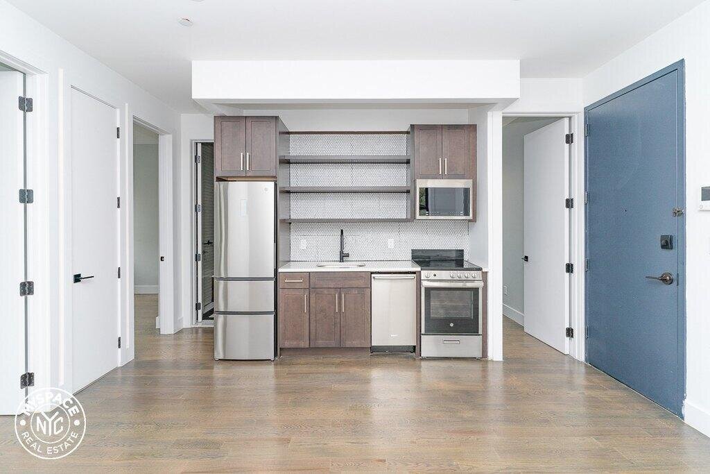
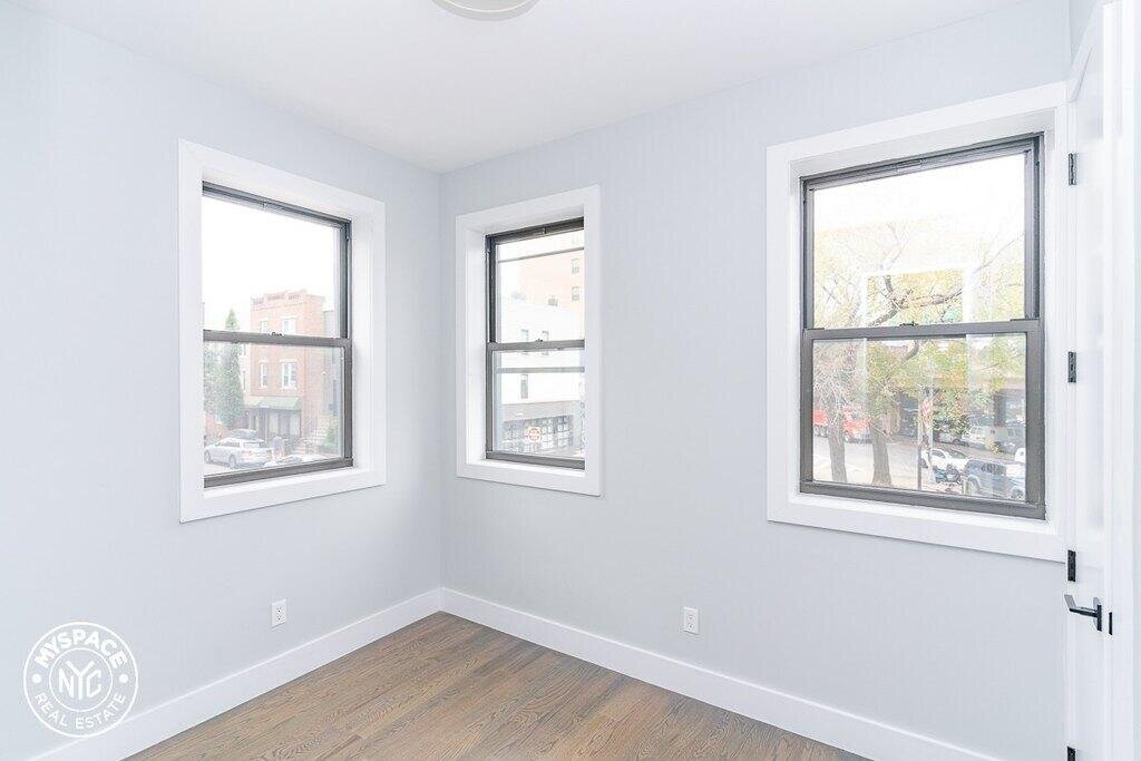
644 Lorimer St, Brooklyn, NY 11211 is a Multi Family Home built in 1928. According to the Brooklyn public records, the property at 644 Lorimer St, Brooklyn, NY 11211 has approximately 4,625 square feet, with a lot size of 2,499 square feet. Nearby schools include Ps 132 The Conselyea School and Citizens of the World Charter School 1.
Primary Land Use and Tax Lot Information
for 644 Lorimer St

Sold Homes
near 644 Lorimer St
| Address | Price | Beds | Baths |
|---|---|---|---|
|
Brooklyn, NY 11211MF
|
$2,200,000
04/16/2024
|
11
|
—
|
|
Brooklyn, NY 11222MF
|
$2,200,000
11/30/2023
|
6
|
3
|
|
Brooklyn, NY 11222MF
|
$1,230,000
11/27/2023
|
2
|
2
|
|
Brooklyn, NY 11249MF
|
$2,400,000
03/27/2024
|
6
|
3
|
|
Brooklyn, NY 11222MF
|
$1,997,000
02/27/2024
|
—
|
6
|
Homes For Sale
near 644 Lorimer St
| Address | Price | Beds | Baths |
|---|---|---|---|
|
Brooklyn, NY 11238MF
|
$3,850,000
299 days ago
|
4
|
6
|
|
Brooklyn, NY 11249MF
|
$2,550,000
340 days ago
|
4
|
7
|
Schools
serving 644 Lorimer St
| School Name | Rating |
|---|---|
|
257 North 6th Street, Brooklyn, NY 11211
|
6 / 10 |
|
208 North 5th Street, Brooklyn, NY 11211
|
5 / 10 |
|
299 North 7th Street, Brooklyn, NY 11211
|
— |
Data provided by
GreatSchools.org © 2024. All Rights Reserved.
School service boundaries are intended to be used as reference only.
To verify enrollment eligibility for a property, contact the school directly.
Flood Factor
for 644 Lorimer St
1
|10
Minimal

FEMA Zone (Est.)
X
Flood insurance:
Recommended
Flood risks are increasing as sea levels rise and weather patterns change.
This property has a
Minimal Flood Factor
.
Although flood risks across the country are changing because of the environment, this property is unlikely to flood over the next 30 years.
Although flood risks across the country are changing because of the environment, this property is unlikely to flood over the next 30 years.
Flood Factor data provided by FloodFactor.