

bool(false)

bool(true)

bool(true)

int(0)
Bronx, NY 10466
Foreclosure History
Lis Pendens
Property details
The description and property data below may have been provided by a third party, the homeowner or public records.
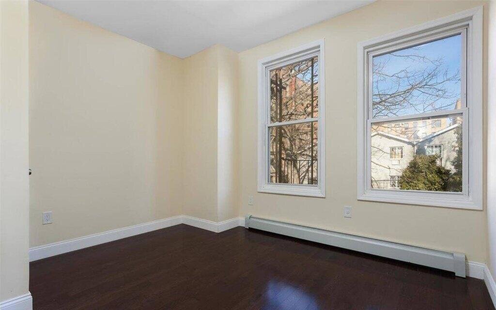
679 E 232nd St, Bronx, NY 10466 is a Multi Family Home built in 1910. This property was last sold for $326,550 in 2016 and currently has an estimated value of $515,900. According to the Bronx public records, the property at 679 E 232nd St, Bronx, NY 10466 has approximately 1,272 square feet, with a lot size of 2,064 square feet. Nearby schools include Ps 103 Hector Fontanez, Ps 21 Philip H Sheridan, Bronx Charter School For Excellence 3 and Ps 19 Judith K Weiss.
Primary Land Use and Tax Lot Information
for 679 E 232nd St

Personal Property Records
for 679 E 232nd St | Document Type | ||||
|---|---|---|---|---|
Property Price History
for 679 E 232nd St
| Date | Event | Price | ||
|---|---|---|---|---|
| Feb 13, 2021 | Listing removed | $639,000 | — | MyStateMLS |
| Dec 22, 2018 | Listing removed | $290,000 | $228 | MyStateMLS |
Property Tax History
for 679 E 232nd St
| Year | Taxes | |
|---|---|---|
| 2024 | $5,300 | $31,200 |
| 2023 | $5,055 | $34,140 |
Sold Homes
near 679 E 232nd St
| Address | Price | Beds | Baths |
|---|---|---|---|
|
Bronx, NY 10466MF
|
$699,000
04/04/2025
|
3
|
2
|
|
Bronx, NY 10466MF
|
$700,000
02/14/2025
|
5
|
2
|
|
Bronx, NY 10466MF
|
$609,451
01/25/2025
|
3
|
3
|
|
Bronx, NY 10470MF
|
$735,000
02/03/2025
|
4
|
2
|
|
Bronx, NY 10470MF
|
$750,000
06/05/2025
|
3
|
2
|
Homes For Sale
near 679 E 232nd St
| Address | Price | Beds | Baths |
|---|---|---|---|
|
Bronx, NY 10475MF
|
$1,300,000
164 days ago
|
9
|
5
|
|
Bronx, NY 10466MF
|
$639,000
97 days ago
|
3
|
2
|
|
Bronx, NY 10466MF
|
$774,999
9 days ago
|
4
|
2
|
|
Yonkers, NY 10704MF
|
$949,000
15 days ago
|
3
|
2
|
|
Bronx, NY 10466MF
|
$1,200,000
121 days ago
|
8
|
3
|
Home Value
for 679 E 232nd St
Estimated values are not a substitute for professional expertise. Contact your RE agent for a market assessment.
Schools
serving 679 E 232nd St
| School Name | Rating |
|---|---|
|
3710 BARNES AVE, The Bronx, NY 10467
|
4 / 10 |
|
4125 CARPENTER AVE, The Bronx, NY 10466
|
6 / 10 |
|
3956 Carpenter Avenue, Bronx, NY 10466
|
— |
Data provided by
GreatSchools.org © 2025. All Rights Reserved.
School service boundaries are intended to be used as reference only.
To verify enrollment eligibility for a property, contact the school directly.
Flood Factor
for 679 E 232nd St
1
|10
Minimal

FEMA Zone (Est.)
X (unshaded)
Flood insurance:
Recommended
Flood risks are increasing as sea levels rise and weather patterns change.
This property has a
Minimal Flood Factor
.
Although flood risks across the country are changing because of the environment, this property is unlikely to flood over the next 30 years.
Although flood risks across the country are changing because of the environment, this property is unlikely to flood over the next 30 years.
Flood Factor data provided by FloodFactor.