7 Laconia Ave, Staten Island, NY 10305

Richmond County

Last Updated: October 27, 2023

Foreclosure: Sold $549,900. Sold For 35% Less Than Market.

1,196 sqft
4,095 lot size
3 beds
1 baths
Year Built: 1955
7 Laconia Ave
Staten Island, NY 10305
Property details
The description and property data below may have been provided by a third party, the homeowner or public records.
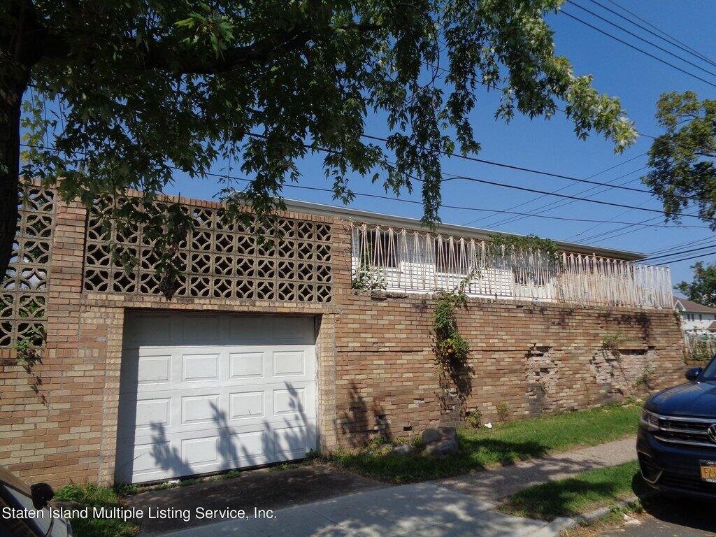
Property is located at the corner of Laconia Ave & Quintard St. This Sprawling Ranch property is located in one the most desirable neighborhoods in Staten Island. In need of total renovations, this spacious property features a large Living room/dining room combination; eat in kitchen, 3 bedrooms, and 1 full bath. The basement is unfinished with room for utilities, laundry and extra storage. Large rear yard with attached 1 car garage. Easy access to schools, shopping, restaurants, public transportation. Be the first the view!
Property facts
Property features
Primary Land Use and Tax Lot Information
  • 7 LACONIA AVENUE, 10305
  • DOB Overview:
  • Building Class:
    A2
    One Family Dwellings: One Story (Permanent Living Quarters)
  • Year Built:
    1955
  • Number of Buildings:
    1
  • Floors on Main Building:
    1
  • Building Dimensions:
    26'44'
  • Actual Square Footage:
    1,196
  • Calculated Square Footage:
    1,144
  • Residential Floor Area:
    1,196
  • Total Units:
    1
  • Residential Units:
    1
  • Extension:
    None
  • Basement:
    Below grade full basement
  • Proximity:
    Detached
  • Address:
    7 LACONIA AVENUE
  • Zip Code:
    10305
  • Borough:
    Staten Island (5)
  • Block — Lot:
    3347 — 36
  • BBLE:
    5033470036
  • Lot Buildings:
    BIN
    Name
    5049503 7 LACONIA AVENUE

  • Ownership:

  • Land Use:
    01
    One & Two Family Buildings
  • Lot Dimensions:
    46.17'116.17'
  • Calculated Lot Perimeter:
    309.61 ft
  • Acres:
    0.12
  • Lot Area:
    4,095
  • Lot Type:
    Corner
  • Irregular Lot:
    An irregularly shaped lot
  • Zoning Districts:
    R3X
    Lower-density residence district
  • Zoning Map:

  • Actual FAR:
    0.29
  • Max Residential FAR:
    0.50
  • Max Commercial FAR:
    0
  • Max Facility FAR:
    1

  • Max Residential Sqft:
    2,048
  • Buildable Residential Sqft:
    852
  • Residential Area Distribution:
Real Property Records
Document Type
Property Price History
Date Event Price
Nov 16, 2023 Sold $560,000
Oct 27, 2023 Listing removed
Property Tax History
Year Taxes Assessment
2022 $6,252 $37,860
2021 $6,542 $39,900
Sold Homes
Address Price Beds Baths
80 S Railroad Ave
NY 10305SF
$630,000
07/19/2023
3
2
28 Grasmere Ct
NY 10305SF
$600,000
08/18/2023
3
2
232 Mallory Ave
NY 10305SF
$730,000
06/21/2023
3
3
14 Grasmere Ct
NY 10305SF
$630,000
11/08/2023
3
2
102 Linwood Ave
NY 10305SF
$638,000
08/18/2023
3
3
Homes For Sale
Address Price Beds Baths
316 Sanilac St
NY 10306SF
$649,900
23 days ago
3
2
130 Stobe Ave
NY 10306SF
$689,000
70 days ago
3
2
16 Mickardan Ct
NY 10304SF
$599,000
64 days ago
3
3
12 Galesville Ct
NY 10305SF
$599,999
58 days ago
3
1
29 Nautilus St
NY 10305SF
$629,000
10 days ago
2
2
Home Value
Estimated values are not a substitute for professional expertise. Contact your RE agent for a market assessment.
Schools
School Name Rating
Naples Street Elementary School
1055 TARGEE ST, NY 10304
10 / 10
New Dorp High School
465 NEW DORP LN, NY 10306
4 / 10
Ps 52 John C Thompson
450 BUEL AVE, NY 10305
6 / 10
Data provided by GreatSchools.org © 2023. All Rights Reserved.
School service boundaries are intended to be used as reference only. To verify enrollment eligibility for a property, contact the school directly.
Flood Factor
Flood Factor Score: 1 Flood Factor Score: 1 Flood Factor Score: 1 Flood Factor Score: 1
1 |10
Minimal
Flood Factor
FEMA Zone (Est.)
X (unshaded)
Flood insurance:
Recommended
Flood risks are increasing as sea levels rise and weather patterns change.
This property has a Minimal Flood Factor .
Although flood risks across the country are changing because of the environment, this property is unlikely to flood over the next 30 years.
Flood Factor data provided by FloodFactor.