
bool(false)

bool(true)

bool(true)

int(0)
Kew Gardens Hills, NY 11367
Property details
The description and property data below may have been provided by a third party, the homeowner or public records.
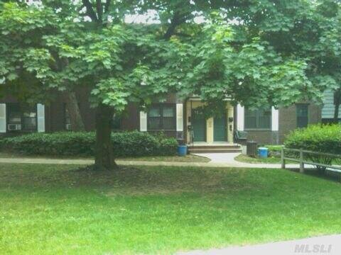
71-07 Park Dr A, Kew Gardens Hills, NY 11367 is a Condo built in 1960. This property was last sold for $234,000 in 2010. Nearby schools include Ps 164 Queens Valley, Ps 165 Edith K Bergtraum and Ps 219 Paul Klapper.
Primary Land Use and Tax Lot Information
for 71-07 Park Dr A

Property Price History
for 71-07 Park Dr A
| Date | Event | Price | ||
|---|---|---|---|---|
| Dec 1, 2023 | Listing removed | $2,150 | — | OneKeyMLS |
| Oct 20, 2023 | Price Changed for rent | $2,150 | — | OneKeyMLS |
Schools
serving 71-07 Park Dr A
| School Name | Rating |
|---|---|
|
14151 71ST AVE, Queens, NY 11367
|
— |
|
6858 147TH ST, Queens, NY 11367
|
— |
|
138-01 77TH AVE, Queens, NY 11367
|
6 / 10 |
Data provided by
GreatSchools.org © 2024. All Rights Reserved.
School service boundaries are intended to be used as reference only.
To verify enrollment eligibility for a property, contact the school directly.
Flood Factor
for 71-07 Park Dr A
1
|10
Minimal

FEMA Zone (Est.)
X (unshaded)
Flood insurance:
Recommended
Flood risks are increasing as sea levels rise and weather patterns change.
This property has a
Minimal Flood Factor
.
Although flood risks across the country are changing because of the environment, this property is unlikely to flood over the next 30 years.
Although flood risks across the country are changing because of the environment, this property is unlikely to flood over the next 30 years.
Flood Factor data provided by FloodFactor.