")

bool(false)

bool(true)

bool(true)

int(0)
Staten Island, NY 10306
Foreclosure History
Property details
The description and property data below may have been provided by a third party, the homeowner or public records.
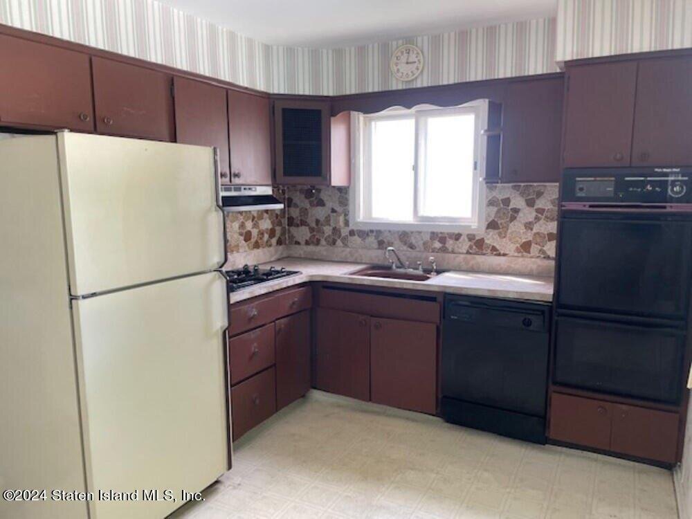
Welcome to your new home in the desirable Bay Terrace neighborhood of Staten Island. This charming 1 family, semi detached home offers approximately 1, 176 sq. ft. of comfortable living space. This property offers 3 spacious bedrooms, providing ample room for family members or guests. Convenient one car carport located at the front of the property, providing easy access and protection for your vehicle. Don't miss out on this fantastic opportunity to own a charming home in one of State Island's most popular neighborhoods. Property being sold in as is condition.
Primary Land Use and Tax Lot Information
for 73 Taunton St

Property Price History
for 73 Taunton St
| Date | Event | Price | ||
|---|---|---|---|---|
| Sep 20, 2024 | Sold | $540,000 | $459 | StatenIsland |
| Jul 26, 2024 | Listed | $529,900 | $451 | StatenIsland |
Property Tax History
for 73 Taunton St
| Year | Taxes | |
|---|---|---|
| 2023 | $6,122 | $39,060 |
| 2022 | $5,677 | $35,400 |
Sold Homes
near 73 Taunton St
| Address | Price | Beds | Baths |
|---|---|---|---|
|
Staten Island, NY 10306SF
|
$600,000
02/11/2025
|
3
|
2
|
|
Staten Island, NY 10308SF
|
$710,000
05/27/2025
|
3
|
2
|
|
Staten Island, NY 10306SF
|
$520,000
04/17/2025
|
3
|
2
|
|
Staten Island, NY 10308SF
|
$548,000
12/23/2024
|
2
|
3
|
|
Staten Island, NY 10306SF
|
$685,000
01/30/2025
|
3
|
2
|
Homes For Sale
near 73 Taunton St
| Address | Price | Beds | Baths |
|---|---|---|---|
|
Staten Island, NY 10306SF
|
$788,000
47 days ago
|
3
|
2
|
|
Staten Island, NY 10308SF
|
$675,000
204 days ago
|
3
|
1
|
|
Staten Island, NY 10306SF
|
$740,000
225 days ago
|
3
|
3
|
|
Staten Island, NY 10312SF
|
$748,000
204 days ago
|
3
|
2
|
|
Staten Island, NY 10306SF
|
$749,900
226 days ago
|
3
|
1
|
Home Value
for 73 Taunton St
Estimated values are not a substitute for professional expertise. Contact your RE agent for a market assessment.
Schools
serving 73 Taunton St
| School Name | Rating |
|---|---|
|
151 Lindenwood Road, Staten Island, NY 10308
|
— |
|
330 Durant Avenue, Staten Island, NY 10308
|
9 / 10 |
|
200 Adelaide Avenue, Staten Island, NY 10306
|
9 / 10 |
Data provided by
GreatSchools.org © 2025. All Rights Reserved.
School service boundaries are intended to be used as reference only.
To verify enrollment eligibility for a property, contact the school directly.
Flood Factor
for 73 Taunton St
1
|10
Minimal

FEMA Zone (Est.)
X (unshaded)
Flood insurance:
Recommended
Flood risks are increasing as sea levels rise and weather patterns change.
This property has a
Minimal Flood Factor
.
Although flood risks across the country are changing because of the environment, this property is unlikely to flood over the next 30 years.
Although flood risks across the country are changing because of the environment, this property is unlikely to flood over the next 30 years.
Flood Factor data provided by FloodFactor.