8501 Fort Hamilton Pkwy, Brooklyn, NY 11209 Kings County Last Updated: March 18, 2024
Pre-Foreclosure: Lis Pendens, Estimated Market Value $10,723,700
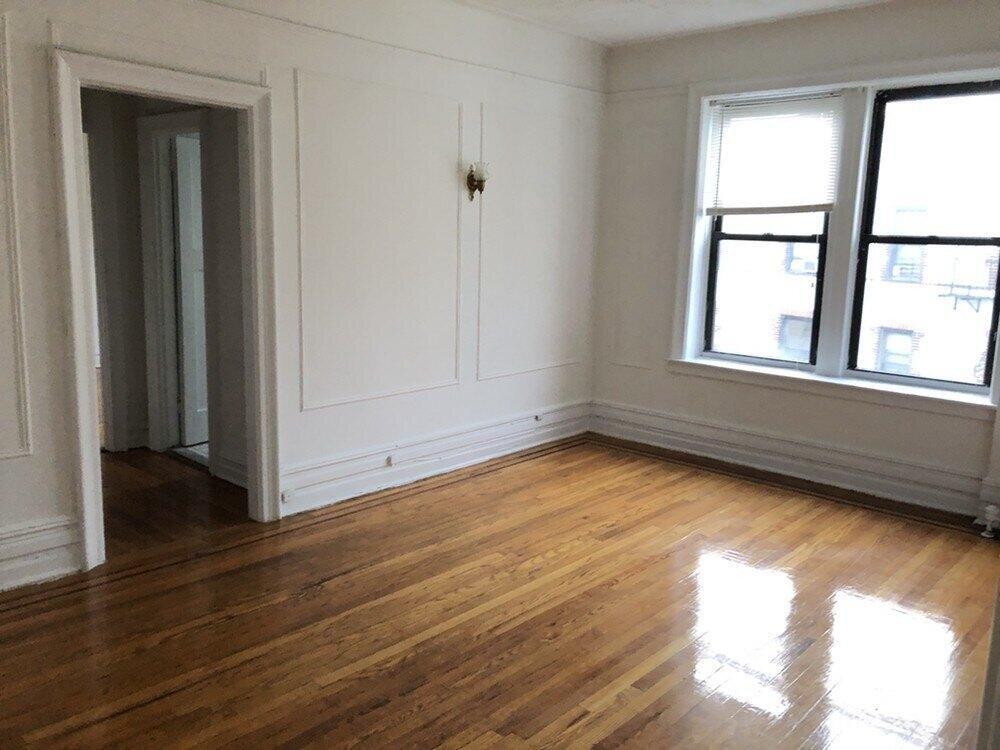
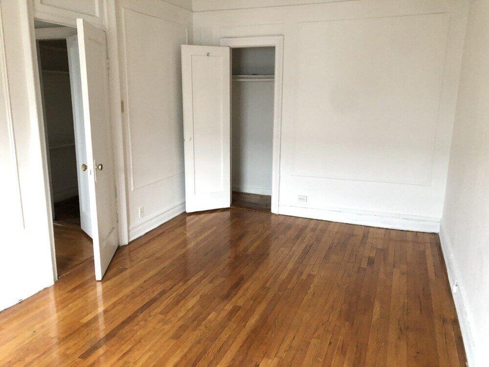
Description: 8501 Fort Hamilton Pkwy, Brooklyn, NY 11209 is a Multi Family Home built in 1927. This property currently has an estimated value of $10,723,700. According to the Brooklyn public records, the property at 8501 Fort Hamilton Pkwy, Brooklyn, NY 11209 has approximately 43,000 square feet, with a lot size of 18,150 square feet. Nearby schools include Ps 127 Mckinley Park and Ps 264 Bay Ridge Elementary School For The Arts.
43,000 sqft
18,150 lot size
1 beds
1 baths
Year Built: 1927
Pre-foreclosure
8501 Fort Hamilton Pkwy, Brooklyn, NY 11209
Last Updated: March 18, 2024
2
Multi Family Home
Estimated Market Value EMV $ 10,723,700
8501 Fort Hamilton Pkwy
bool(false)

bool(true)

bool(true)

int(0)
Estimated Market Value EMV $ 10,723,700
Foreclosure History
for 8501 Fort Hamilton Pkwy
for 8501 Fort Hamilton Pkwy
8501 Fort Hamilton Pkwy, Brooklyn, NY 11209 is a Multi Family Home built in 1927. This property currently has an estimated value of $10,723,700. According to the Brooklyn public records, the property at 8501 Fort Hamilton Pkwy, Brooklyn, NY 11209 has approximately 43,000 square feet, with a lot size of 18,150 square feet. Nearby schools include Ps 127 Mckinley Park and Ps 264 Bay Ridge Elementary School For The Arts.
Property features
Facilities:
Facilities:
no
no
Laundry Features:
Laundry Features:
no
no
Pet Description:
Pet Description:
Small Dogs Allowed: yes
Small Dogs Allowed: yes
Total Rooms:
Total Rooms:
3
3
Lease Term:
Lease Term:
Min Months Lease Length: 12, Lease Period: 12
Min Months Lease Length: 12, Lease Period: 12
Full Bathrooms:
Full Bathrooms:
1
1
Total Bathrooms:
Total Bathrooms:
1 / 0
1 / 0
Flooring:
Flooring:
Floor Covering: hardwood
Floor Covering: hardwood
Furnished Description:
Furnished Description:
no
no
Entry Location:
Entry Location:
no
no
Property Age:
Property Age:
92
92
Total Square Feet Living:
Total Square Feet Living:
700
700
Year Built:
Year Built:
1927
1927
Availability Date:
Availability Date:
2019-10-27
2019-10-27
Property Subtype:
Property Subtype:
condo
condo
Source Listing Status:
Source Listing Status:
Available
Available
Source Neighborhood:
Source Neighborhood:
Bay Ridge
Bay Ridge
Source Property Type:
Source Property Type:
Apartment
Apartment
Source System Name:
Source System Name:
C2C
C2C
Subdivision:
Subdivision:
Bay Ridge
Bay Ridge
Building Class:
C1
Walk Up Apartments: Over Six Families Without Stores
Floors on Main Building:
4.00
Building Dimensions:
101.58'
Actual Square Footage:
43,000
Calculated Square Footage:
65,418
Residential Floor Area:
43,000
Address:
8501 FORT HAMILTON AVENUE
BIN
Name 8501 FORT HAMILTON AVENUE
Land Use:
02
Multi-Family Walk-Up Buildings
Lot Dimensions:
101.58'
Calculated Lot Perimeter:
542 ft
Irregular Lot:
An irregularly shaped lot
Zoning Districts:
R4-1
Lower-density residence district
Special Purpose Districts:
BR
Special Bay Ridge District
Max Residential FAR:
0.75
Max Residential Sqft:
13,613
Buildable Residential Sqft:
0
Residential Area Distribution:
Assessed Land Value:
$653,400
Assessed Total Value:
$1,984,950
Last Recording Date:
Jan 8, 2024
Property Assessment Data:
Tax Class:
2
11 units or more cooperative or condominium
Taxable Assessed Value:
$1,822,230
Estimated Market Value by NYC DOF :
$4,411,000
Community District (CD):
310
City Council District:
47
Document DateDocument Type Unit Amount
Recorded DateDocument Type Unit Amount
Date
Event
Price
Price/Sqft
Source
Nov 20, 2019
Listing removed
—
—
Funnel
Oct 27, 2019
Listed for rent
$1,699
$2
Funnel
Address
Price
Built
Beds
Baths
Sqft
Lot Size
Distance
1105 72nd St
Brooklyn, NY 11228MF
$1,420,000
02/15/2024
1924
—
7
4,800
-38,200difference
2,000
0.78 mi
521 82nd St
Brooklyn, NY 11209MF
$1,153,000
02/23/2024
1928
—
6
4,744
-38,256
2,108
0.25 mi
511 Bay Ridge Pkwy
Brooklyn, NY 11209MF
$1,600,000
03/21/2024
1899
6
5
4,410
-38,590
3,092
0.62 mi
1082 70th St
Brooklyn, NY 11228MF
$1,815,000
12/18/2023
1925
5
3
4,152
-38,848
2,575
0.83 mi
1084 70th St
Brooklyn, NY 11228MF
$1,915,000
01/03/2024
1925
5
3
4,152
-38,848
2,075
0.83 mi
25 Gelston Ave
Brooklyn, NY 11209MF
$1,250,000
01/09/2024
1925
—
3
1,836
-41,164
2,109
0.11 mi
651 84th St
Brooklyn, NY 11228MF
$1,350,000
11/07/2023
1925
4
3
1,448
-41,552
3,400
0.11 mi
36 Gelston Ave
Brooklyn, NY 11209MF
$1,499,000
12/28/2023
1925
—
3
2,160
-40,840
2,730
0.15 mi
8204 10th Ave
Brooklyn, NY 11228MF
$1,100,000
02/13/2024
1925
3
2
1,376
-41,624
2,000
0.26 mi
460 82nd St
Brooklyn, NY 11209MF
$1,370,000
01/18/2024
1910
6
2
2,280
-40,720
2,400
0.30 mi
School Name
Rating
Grades
Parent Rating
Distance
St Ephrem School
, Brooklyn , NY 11228
—
PK−8
0.56 mi
Ps 127 Mckinley Park
, Brooklyn , NY 11228
7 / 10
K−5
0.33 mi
Adelphi Academy
, Brooklyn , NY 11209
—
K−12
0.56 mi
St Anselm Elementary School
, Brooklyn , NY 11209
—
PK−8
0.40 mi
Ps 264 Bay Ridge Elementary School For The Arts
, Brooklyn , NY 11209
9 / 10
K−5
0.32 mi
Jhs 201 The Dyker Heights
, Brooklyn , NY 11228
10 / 10
6−8
0.55 mi
Fort Hamilton High School
, Brooklyn , NY 11209
3 / 10
9−12
0.94 mi
Jhs 259 William Mckinley
, Brooklyn , NY 11228
10 / 10
6−8
0.59 mi
High School Of Telecommunications Arts And Technol
, Brooklyn , NY 11220
5 / 10
9−12
1.12 mi
New Utrecht High School
, Brooklyn , NY 11214
4 / 10
9−12
1.19 mi
FEMA Zone (Est.)
X (unshaded)
Flood insurance:
Recommended
Flood risks are increasing as sea levels rise and weather patterns change.
This property has a
Minimal Flood Factor
.
Please Log In
Please wait... If this message is not eventually replaced by the proper contents of the document, your PDF viewer may not be able to display this type of document.
You can upgrade to the latest version of Adobe Reader for Windows®, Mac, or Linux® by visiting
https://get.adobe.com/reader/ this link .
For more assistance with Adobe Reader visit
http://get.adobe.com/reader/ this link .
You can download this PDF-document from
here .