")

bool(false)

bool(true)

bool(true)

int(0)
New York, NY 10023
Foreclosure History
Lis Pendens
Property details
The description and property data below may have been provided by a third party, the homeowner or public records.
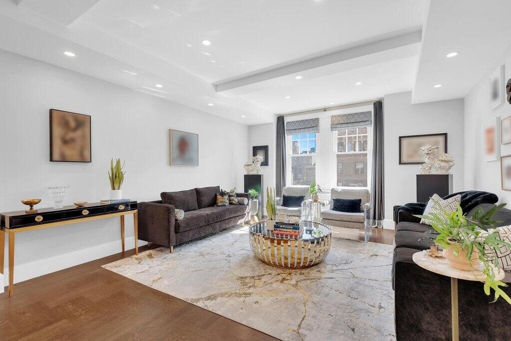
27 W 72nd St #1505, New York, NY 10023 is a Condo built in 1925. This property was last sold for $3,600,000 in 2024 and currently has an estimated value of $3,779,700. According to the New York public records, the property at 27 W 72nd St #1505, New York, NY 10023 has approximately 1,828 square feet. Nearby schools include Special Music School and Ps 87 William Sherman.
Primary Land Use and Tax Lot Information
for 27 W 72nd St #1505

Property Price History
for 27 W 72nd St #1505
| Date | Event | Price | ||
|---|---|---|---|---|
| Nov 4, 2024 | Sold | $3,600,000 | $1,969 | DouglasElliman |
| Mar 29, 2024 | Listing removed | — | — | CorcoranGroup |
Property Tax History
for 27 W 72nd St #1505
| Year | Taxes | |
|---|---|---|
| 2024 | $40,438 | $336,754 |
| 2023 | $39,567 | $365,895 |
Sold Homes
near 27 W 72nd St #1505
| Address | Price | Beds | Baths |
|---|---|---|---|
|
New York, NY 10019
|
$2,725,000
05/27/2025
|
3
|
4
|
|
New York, NY 10023
|
$3,500,000
05/20/2025
|
3
|
—
|
|
New York, NY 10024
|
$1,775,000
03/12/2025
|
3
|
—
|
|
New York, NY 10023
|
$4,575,000
03/06/2025
|
2
|
—
|
|
New York, NY 10023
|
$3,495,000
03/13/2025
|
3
|
—
|
Home Value
for 27 W 72nd St #1505
Estimated values are not a substitute for professional expertise. Contact your RE agent for a market assessment.
Schools
serving 27 W 72nd St #1505
| School Name | Rating |
|---|---|
|
48 West 74th Street, New York, NY 10023
|
— |
|
24 West 74th Street, New York, NY 10023
|
— |
|
100 West 77th Street, New York, NY 10024
|
4 / 10 |
Data provided by
GreatSchools.org © 2025. All Rights Reserved.
School service boundaries are intended to be used as reference only.
To verify enrollment eligibility for a property, contact the school directly.
Flood Factor
for 27 W 72nd St #1505
1
|10
Minimal

FEMA Zone (Est.)
X (unshaded)
Flood insurance:
Recommended
Flood risks are increasing as sea levels rise and weather patterns change.
This property has a
Minimal Flood Factor
.
Although flood risks across the country are changing because of the environment, this property is unlikely to flood over the next 30 years.
Although flood risks across the country are changing because of the environment, this property is unlikely to flood over the next 30 years.
Flood Factor data provided by FloodFactor.